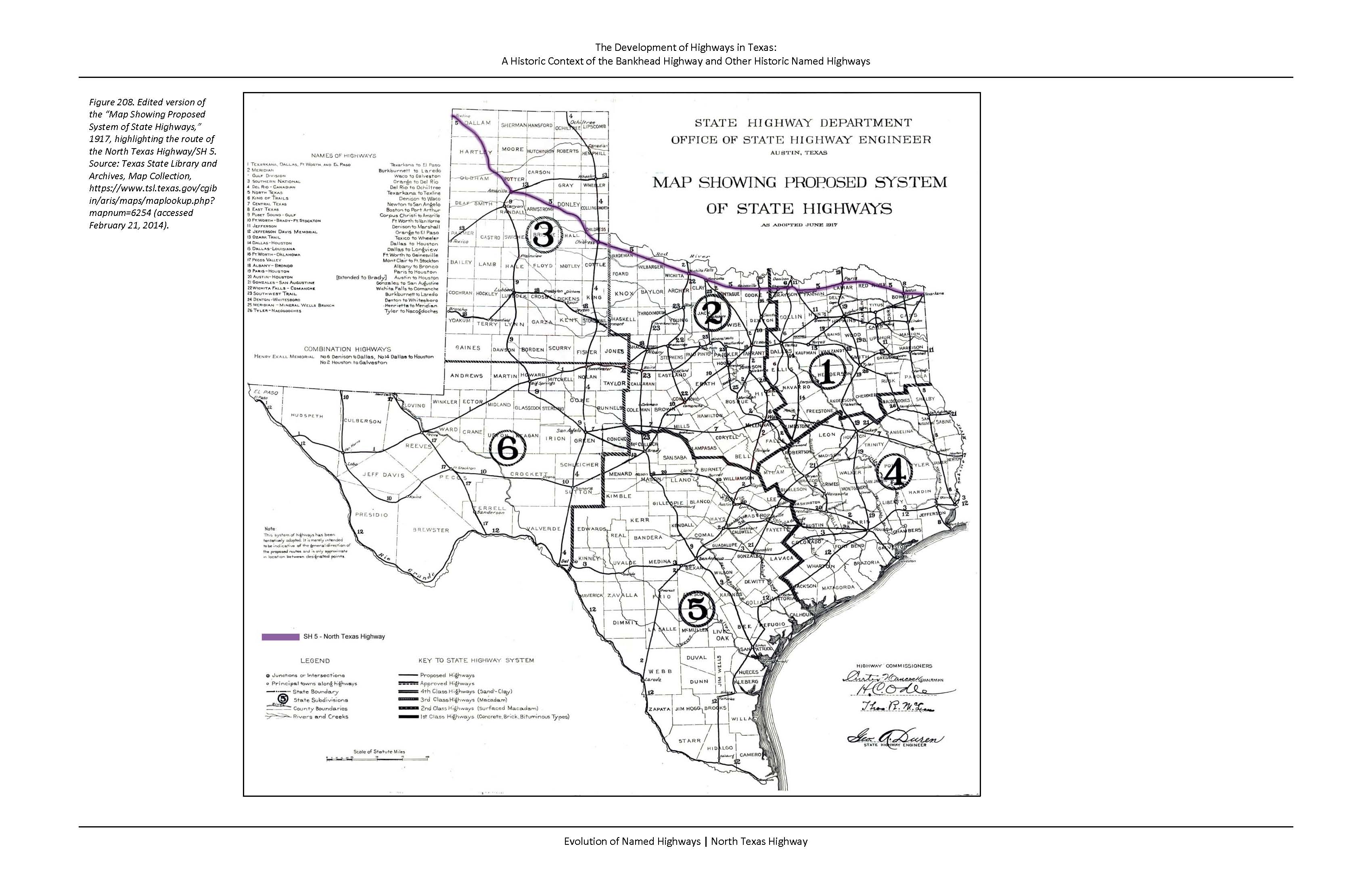
The North Texas Highway generally follows a single geographic feature: the Red River. The North Texas Highway has a northwest/southeast orientation and mostly extends along the south (Texas) side of the Red river. Near Childress, it crosses the river and continues to Amarillo, where it deviates from the river's path and takes a more northwesterly route toward Dalhart and Texline at the New Mexico border. The existence of such a route along the waterway obviously predates the automobile era, because the river would have been a physical feature that would have impeded north-south travel. The establishment of towns at strategic river crossings would have developed first, but over time, railroad and roads developed to connect communities.
North Texas Highway Historic Context Report (4.3 MB)